Point-cloud reconstruction of the University Campus research building.

Projects

From Reality to Results

A closer look at how Vertex captures complex physical environments and transforms them into coordinated point clouds, BIM models, spatial datasets and digital assets.
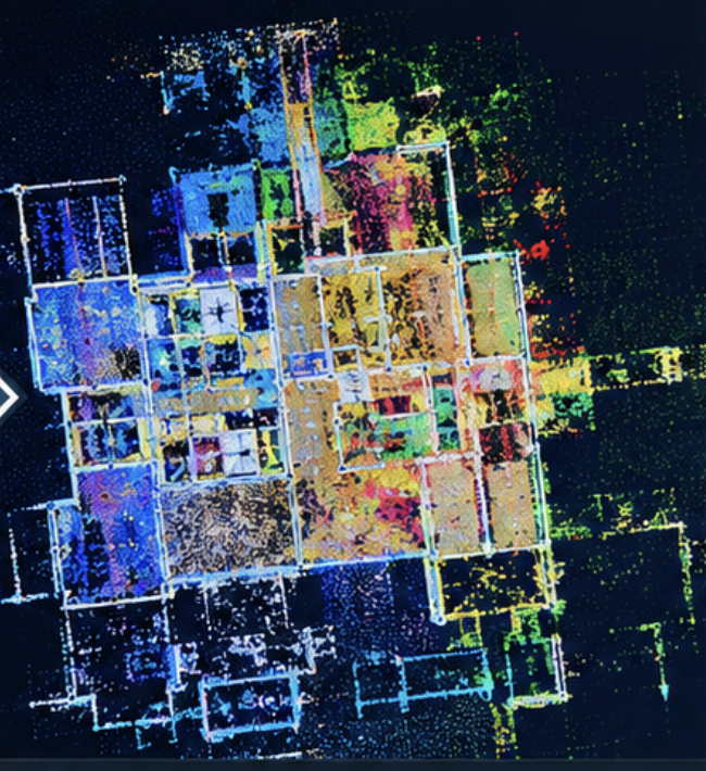
Colourised point-cloud floor plan of a captured building.
Open project recordColourised Point CloudA layered survey dataset reveals the building layout, captured surfaces and spatial relationships in measurable colourised points.
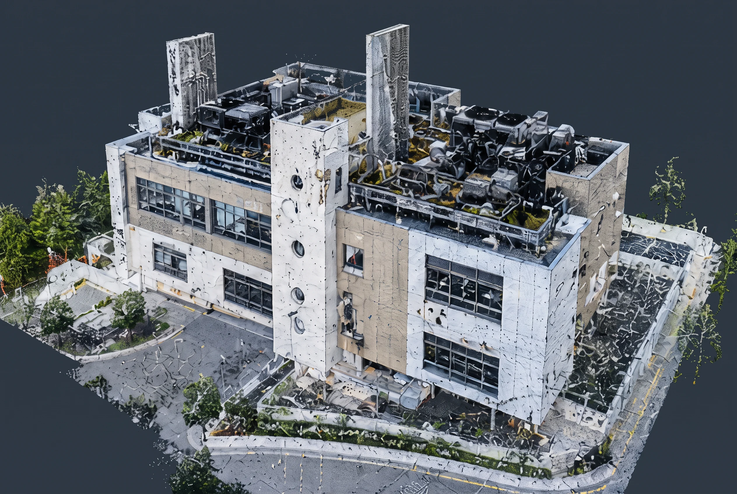
Registered building point cloud displayed in FARO Scene with scan positions and building outline visible.
Open project recordRegistered Survey DatasetRegistered scan positions are consolidated into a measurable spatial dataset for inspection, coordination and downstream modelling.
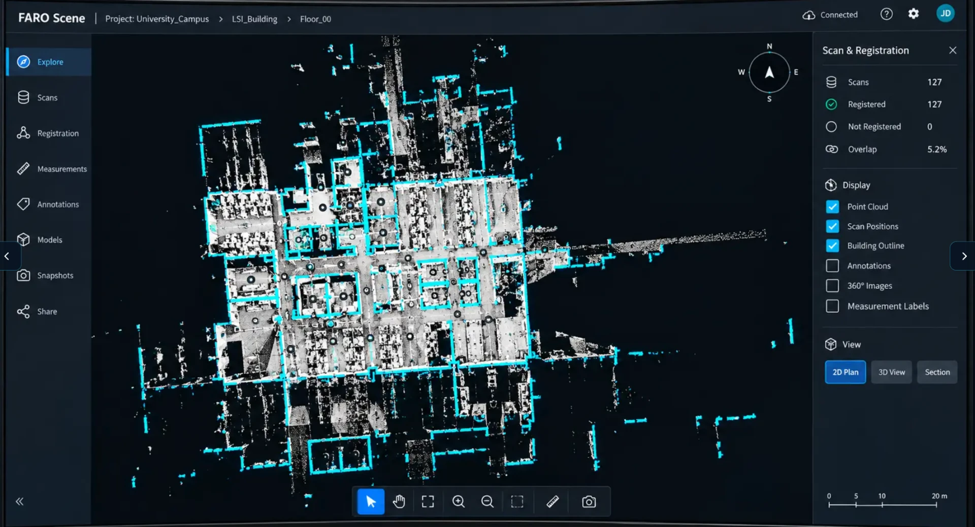
Three-dimensional point-cloud reconstruction of a university research building.
Open project recordExisting-Condition Digital AssetThe complete building capture provides a navigable spatial record of the facade, roof plant and immediate site context.

Real environment → useful digital asset

One connected project record.
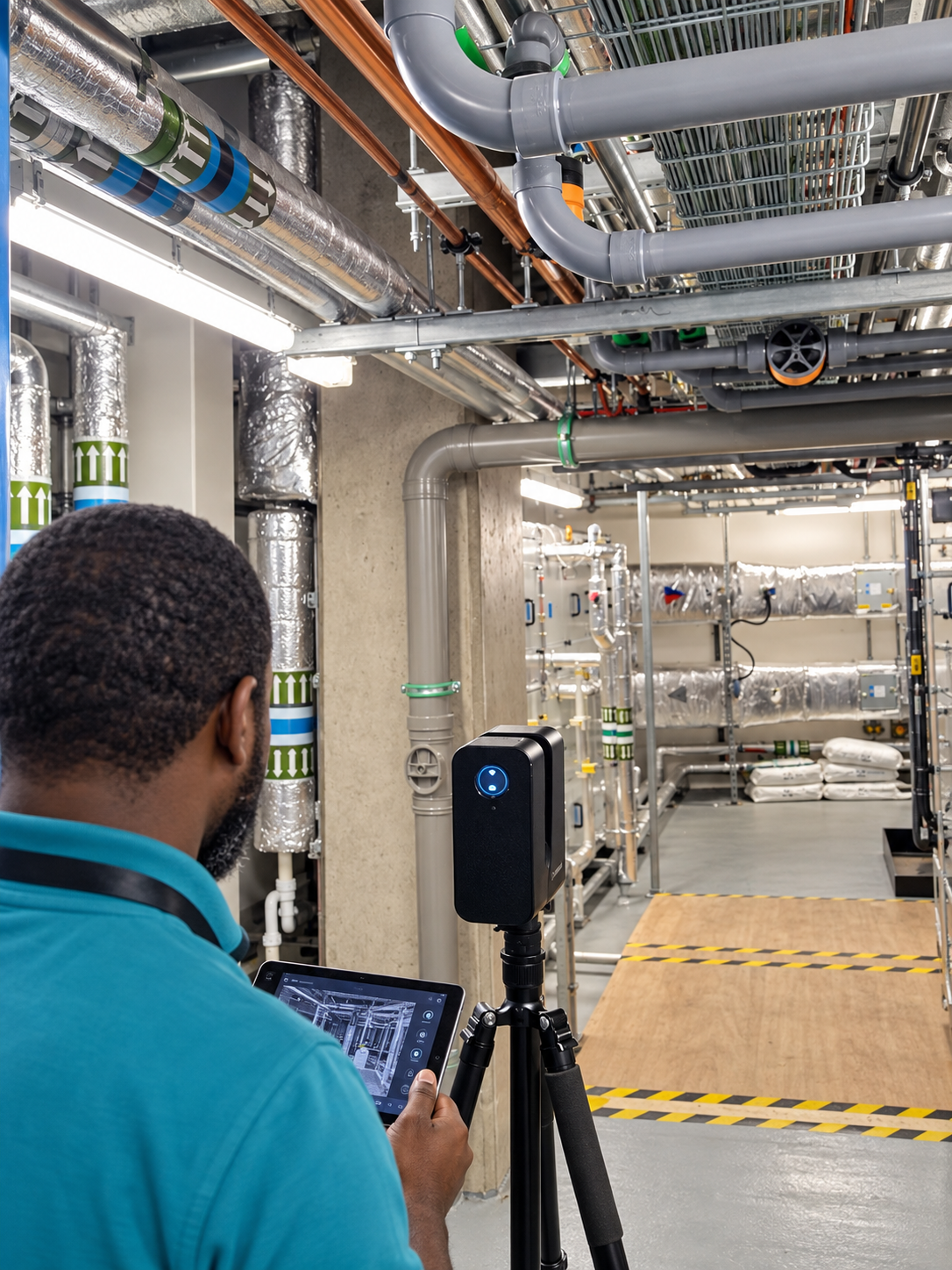
Surveyor seen from behind operating a terrestrial laser scanner in a mechanical plantroom.Scanner: Matterport

01

Reality Capture

Terrestrial laser scanning records dense mechanical services and the surrounding built environment without interrupting the working space.
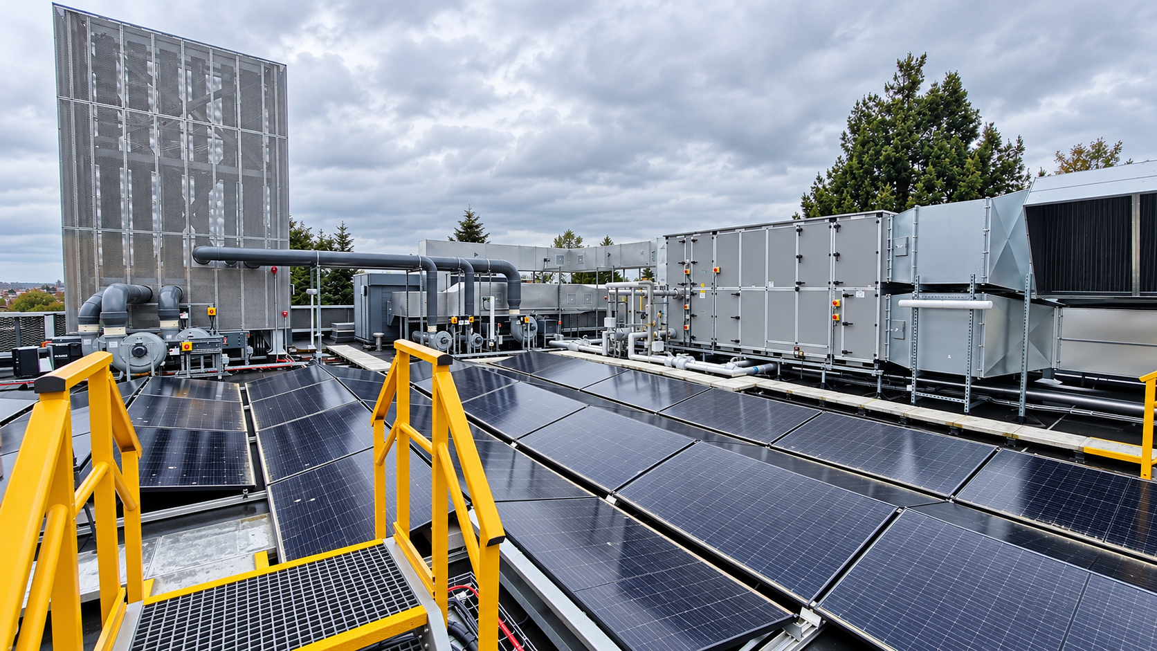
Rooftop solar panels and mechanical plant equipment documented for an existing-conditions survey.

02

Existing Conditions

Rooftop plant, solar arrays, access routes and distribution systems are captured as a coordinated existing-condition record.

Colourised point-cloud floor plan of a captured building.

03

Colourised Point Cloud

A layered survey dataset reveals the building layout, captured surfaces and spatial relationships in measurable colourised points.

Registered building point cloud displayed in FARO Scene with scan positions and building outline visible.

04

Registered Survey Dataset

Registered scan positions are consolidated into a measurable spatial dataset for inspection, coordination and downstream modelling.

Three-dimensional point-cloud reconstruction of a university research building.

05

Existing-Condition Digital Asset

The complete building capture provides a navigable spatial record of the facade, roof plant and immediate site context.
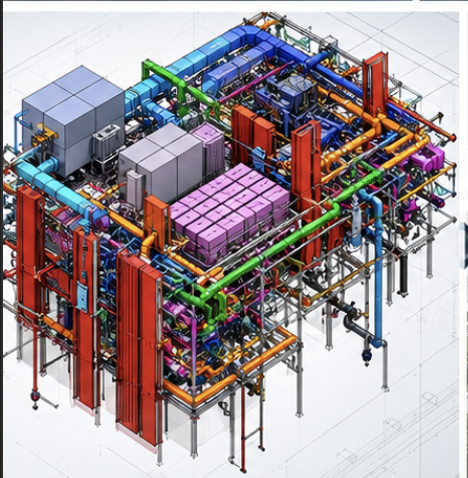
Detailed coordinated MEP model with colour-coded services and equipment.

06

Coordinated MEP Model

Dense plant, pipework, ductwork and structural systems are translated into a coordinated model for technical review.
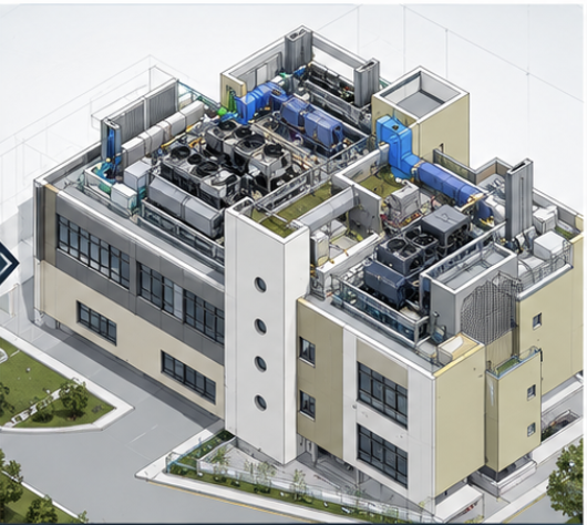
Coordinated three-dimensional building model with rooftop services visible.

07

Coordinated Building Model

The survey-derived building model combines the envelope and rooftop services into one coordinated design record.
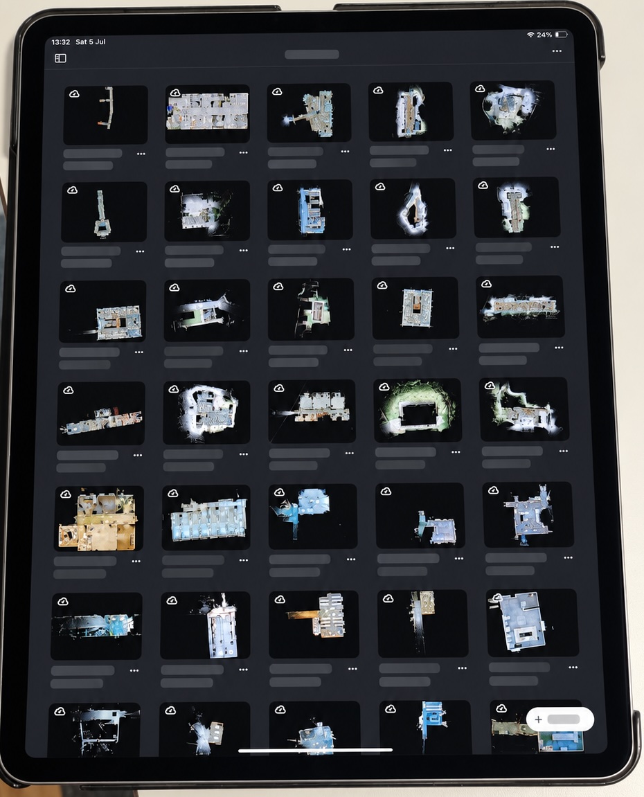
Tablet showing a library of captured building scans and registered spatial projects.

08

Structured Information

Captured environments remain organised as a usable digital record for review, coordination and asset information workflows.

Discuss a similar project.

Tell us what you need to capture, coordinate or hand over.

Start a Project