Services
Reality Capture & Spatial Data Services
From survey-grade reality capture to structured BIM, GIS and asset information, Vertex delivers coordinated spatial data for the built environment.
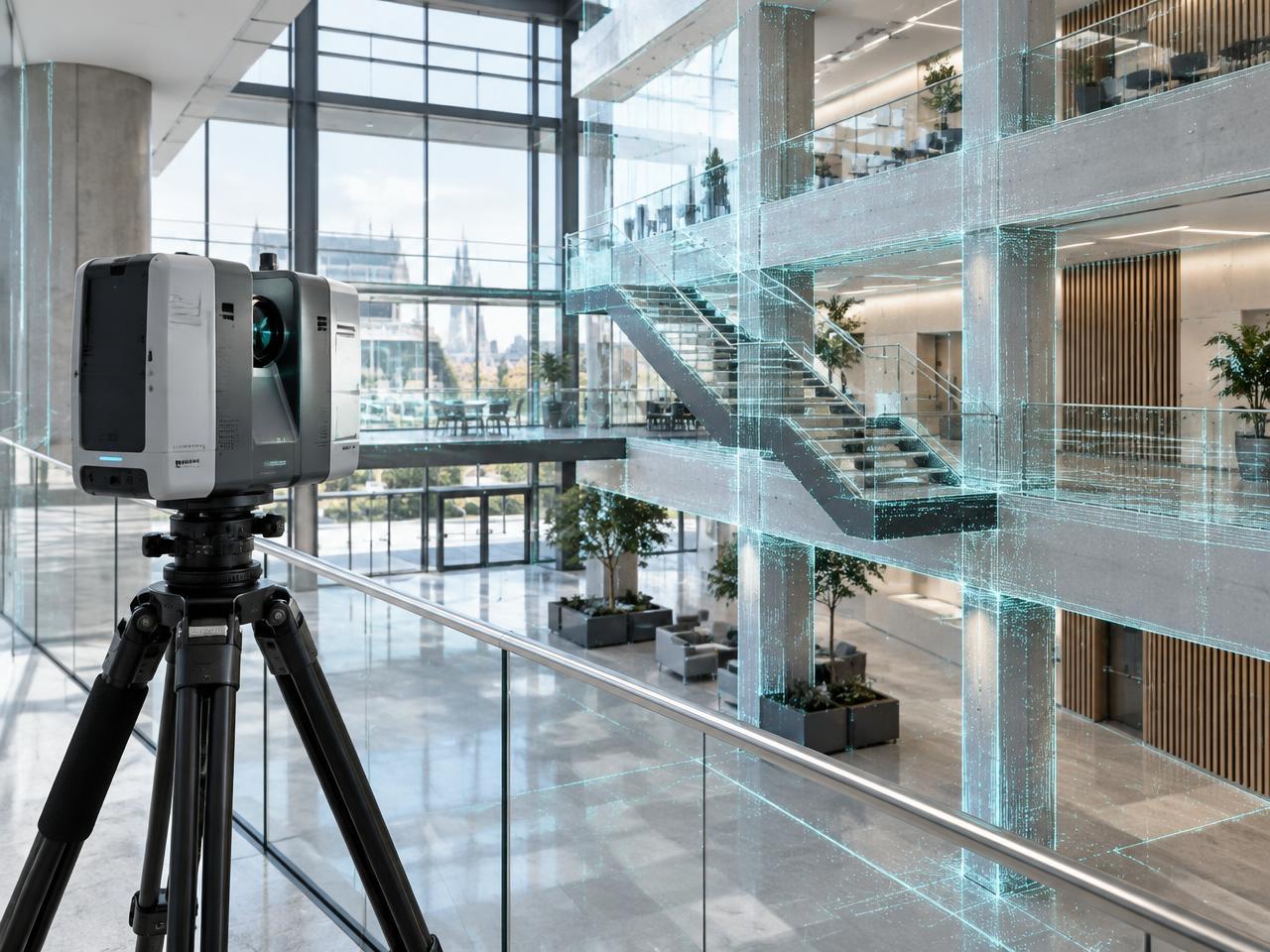 3D Terrestrial Laser ScanningMillimetre-accurate phase-shift LiDAR surveys for complex buildings, façades, plantrooms, and infrastructure.Explore service
 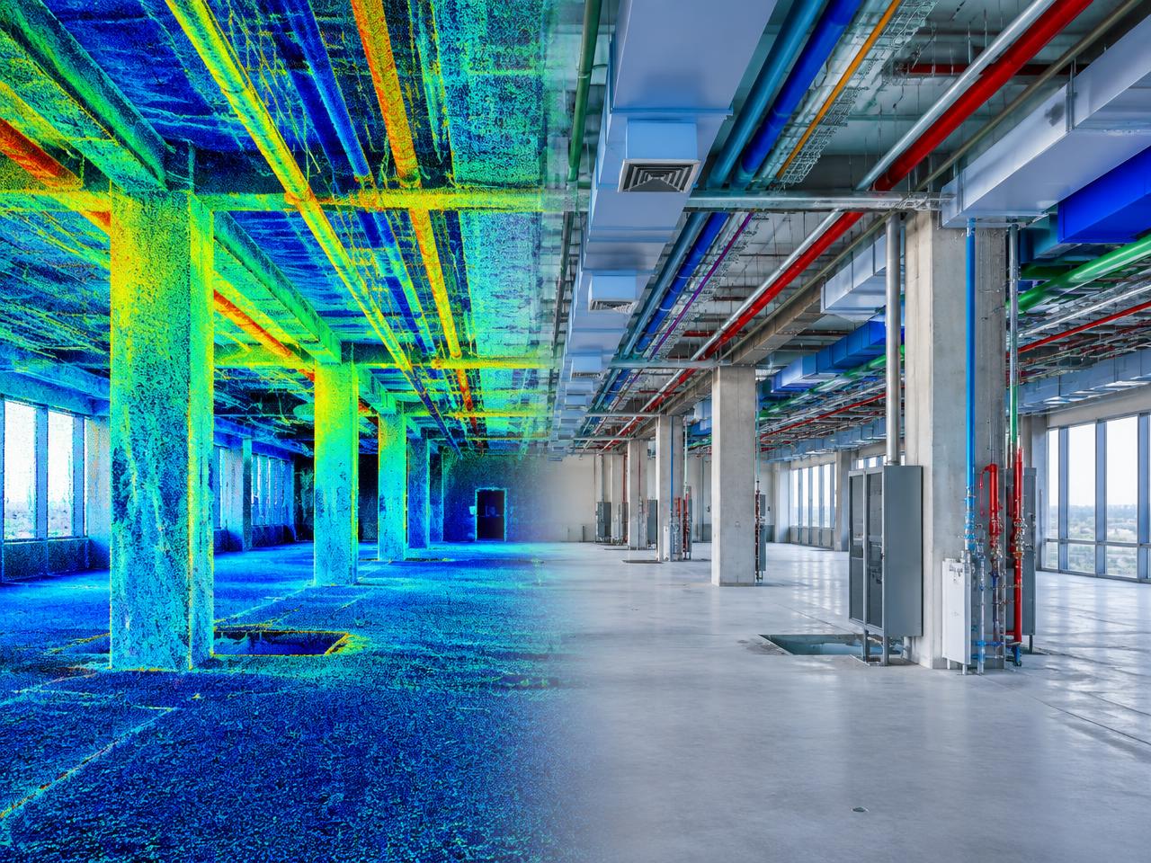 Scan-to-BIM ModellingCoordinated architectural, structural, and MEP Revit models developed directly from registered survey data.Explore service
 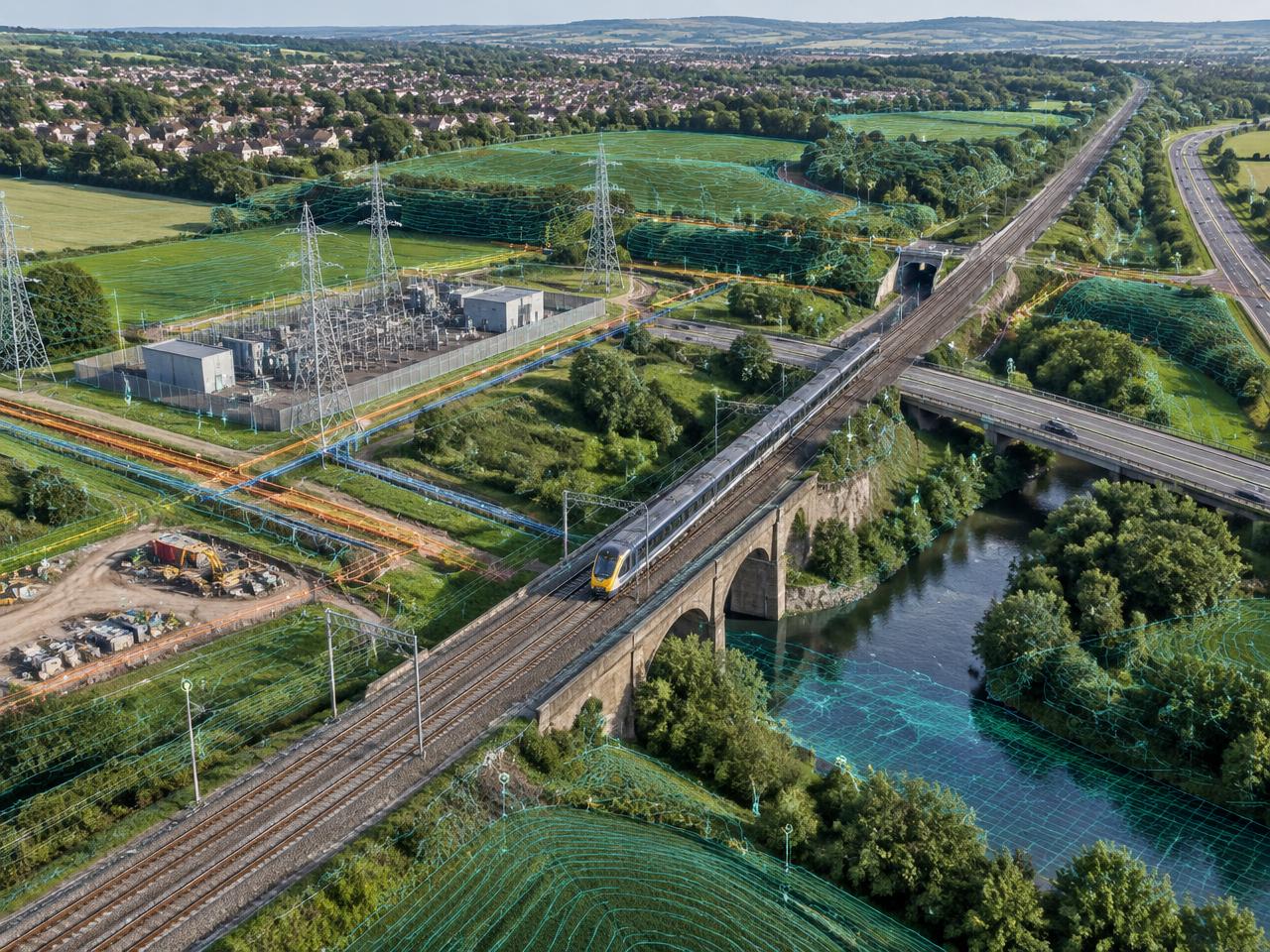 GIS & Geospatial SolutionsNational-grid mapping, RTK UAV surveys, spatial asset databases, and coordinated BIM-to-GIS integration.Explore service
 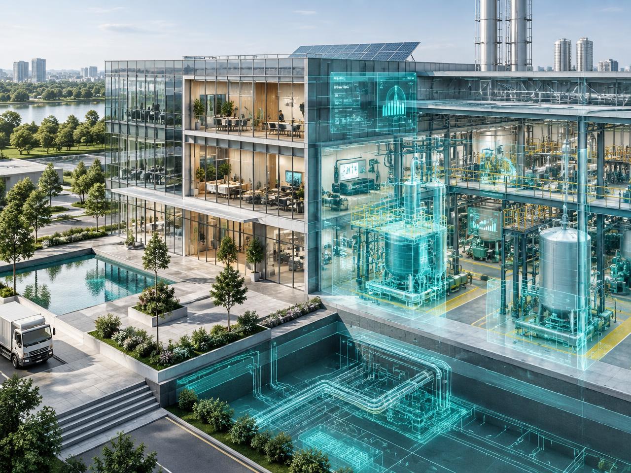 Digital Twins & VR WalkthroughsPhotorealistic, web-accessible environments for remote inspection, coordination, stakeholder review, and handover.Explore service
 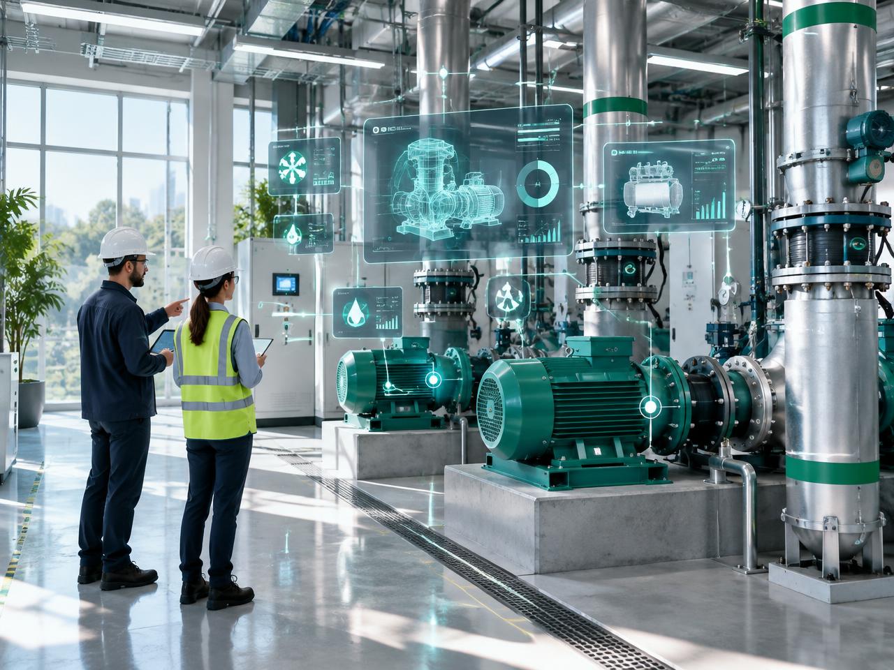 Asset Information ManagementStructured, verified asset records that connect survey geometry with operational and maintenance information.Explore service
 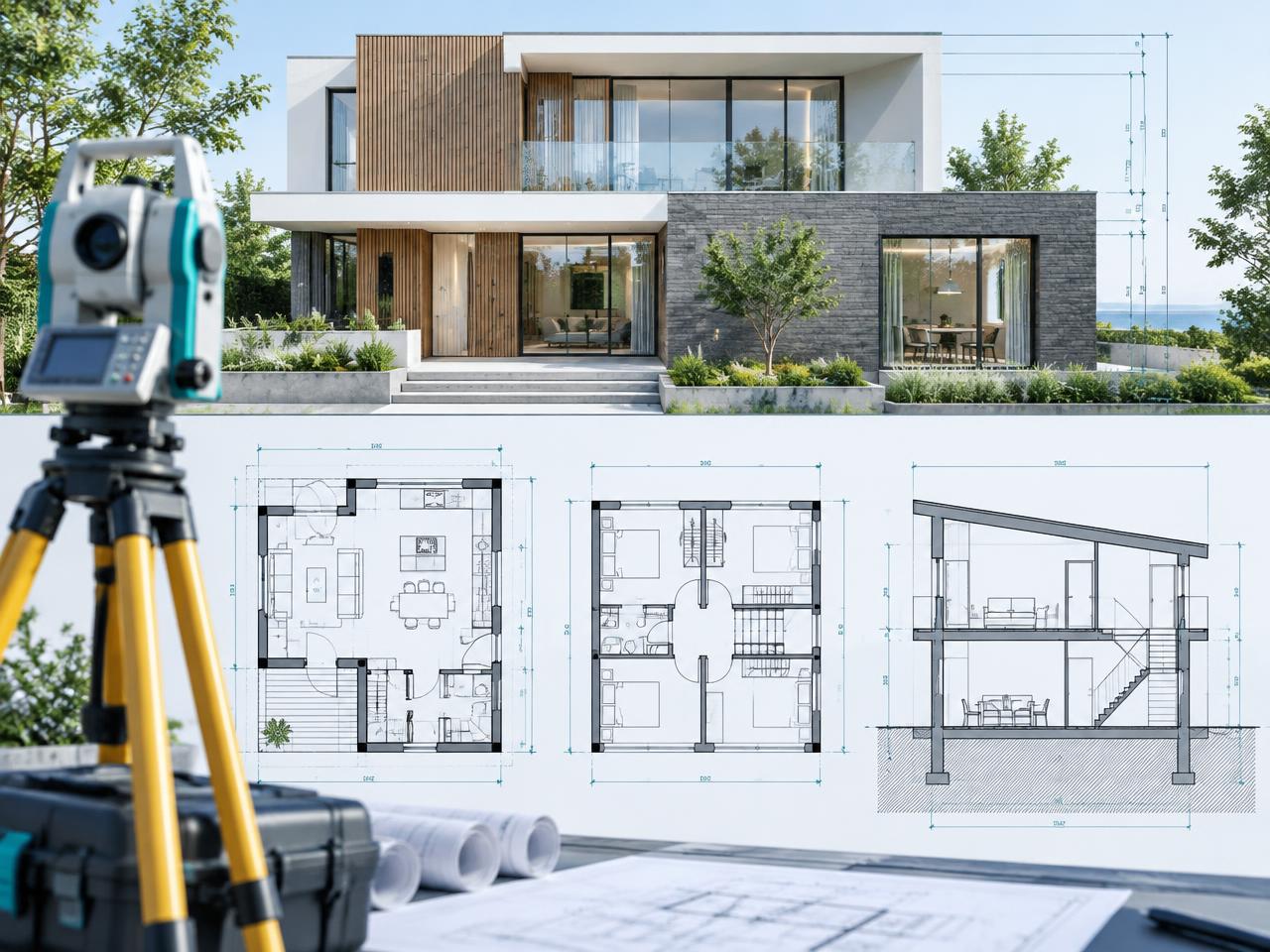 Measured CAD Surveys & SectionsAccurate 2D plans, elevations, and sections derived from coordinated point-cloud data.Explore service
 Drag, swipe or use arrow keys