All services
Vertex service
3D Terrestrial Laser Scanning
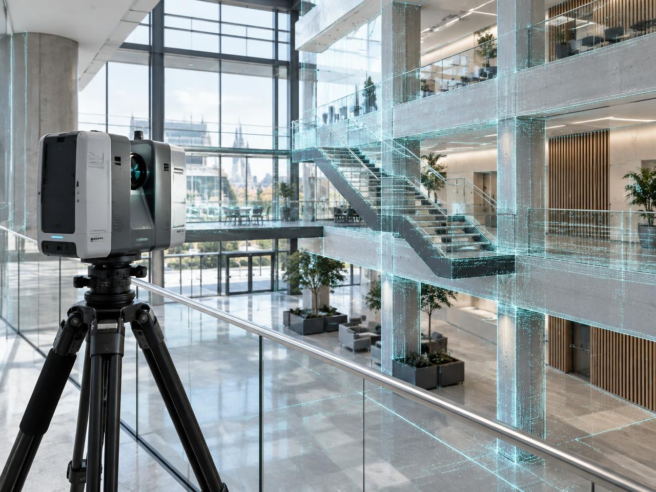
Vertex captures complete, measurable records of existing conditions without relying on assumptions or incomplete legacy drawings. Registered point clouds give design teams a reliable spatial baseline before design, coordination, or intervention begins.
Discuss this serviceKey capabilities
High-density internal and external capture
Survey control and cloud registration
Complex MEP and restricted-access recording
Colourised and intensity point-cloud processing
Typical use cases
- Refurbishment and retrofit design
- Measured building surveys
- Plant replacement planning
- Heritage recording and condition surveys
Deliverables
- Registered point cloud
- Survey control report
- Web-viewable inspection dataset
- Derived plans, elevations, and sections