 Foundation
Programme 01
3D Laser Scanning & LiDAR Fundamentals
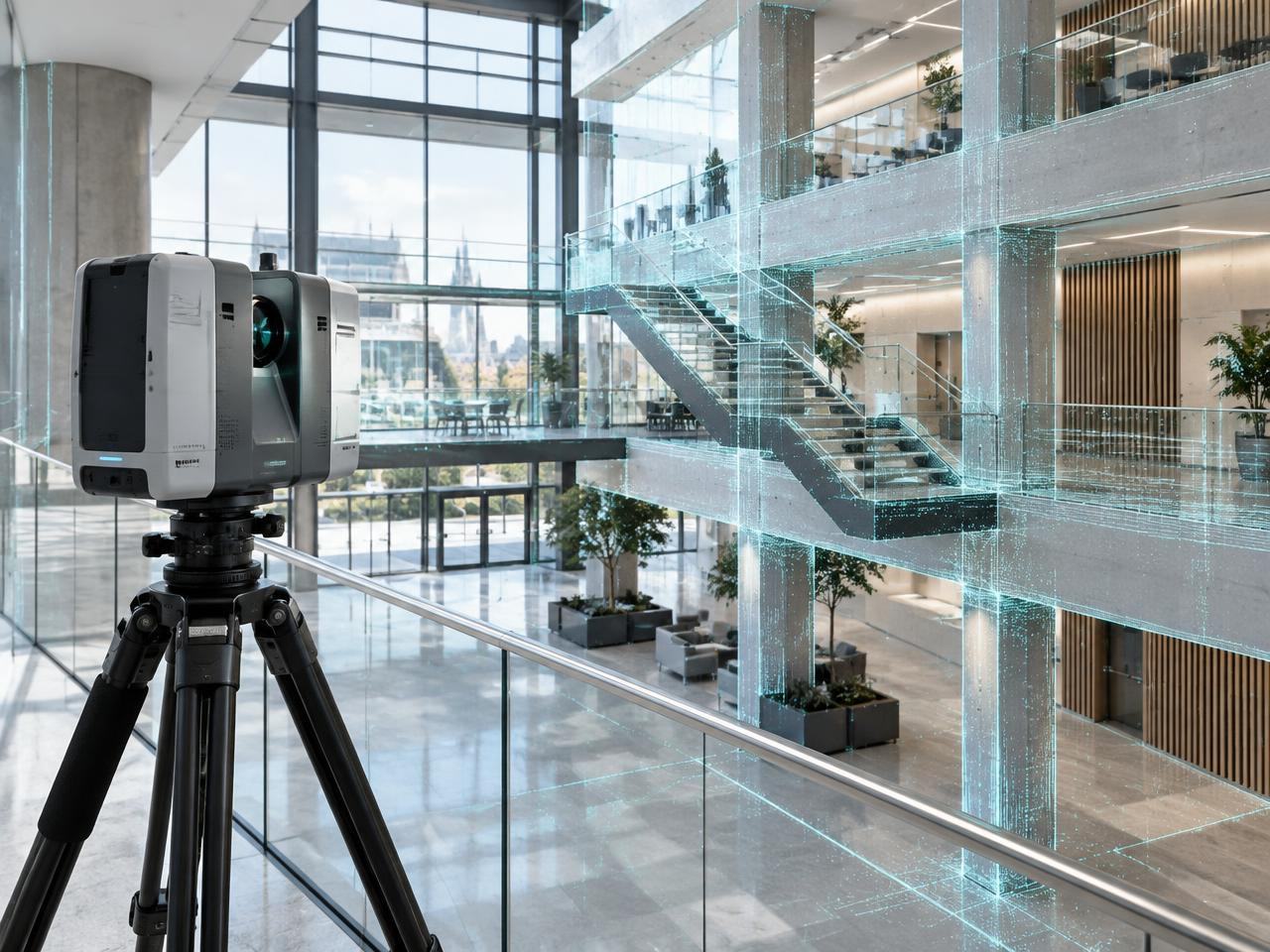
An introductory programme covering LiDAR technology, point cloud data, equipment selection, and health and safety on scanning sites. Ideal for teams new to reality capture.
Professional Training
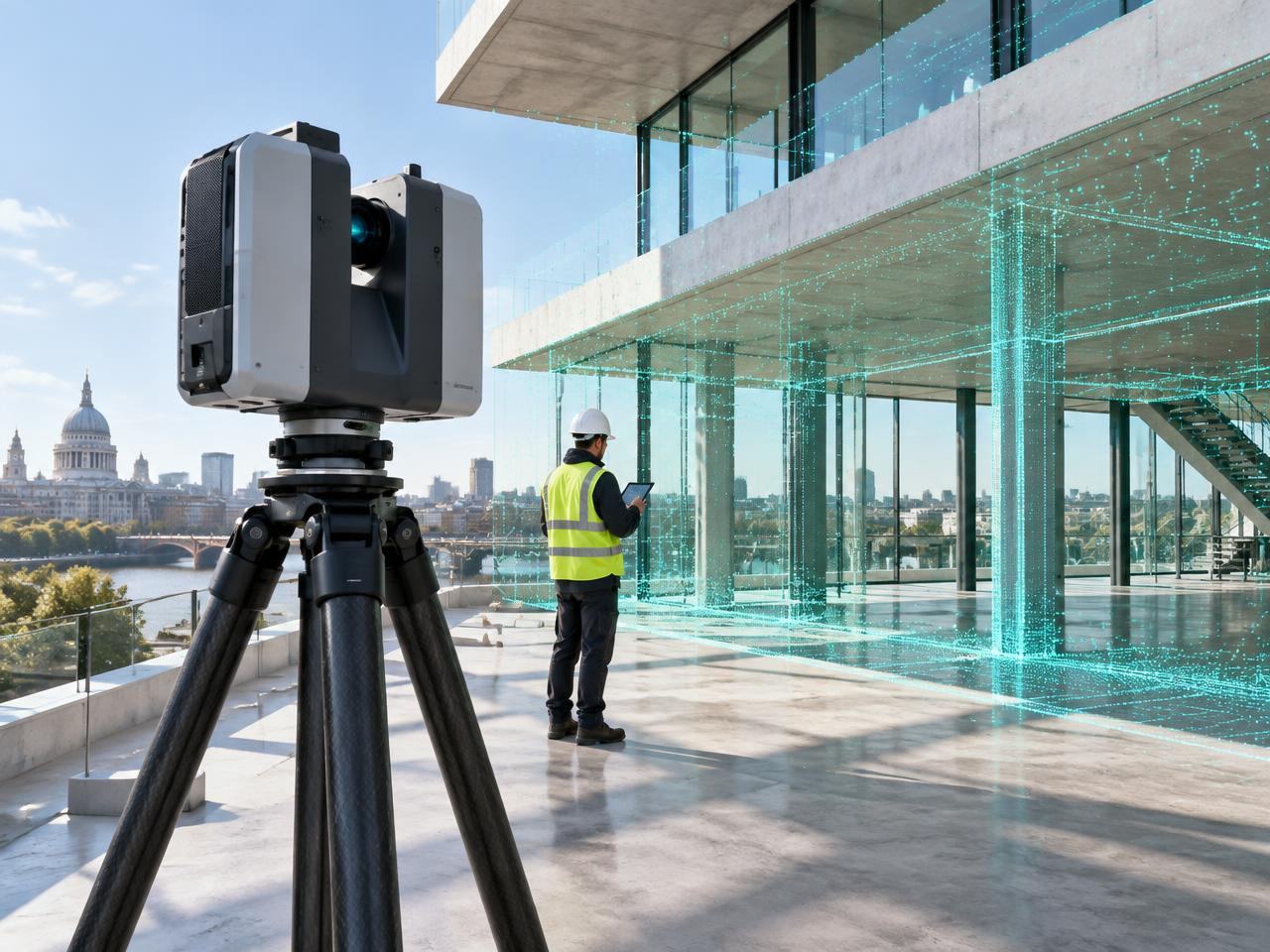
Practical, technically grounded programmes can be selected individually or combined into a tailored training package for individuals and teams.
Explore programmesChoose your training programmes
Explore each programme, then select one or combine several into a tailored package for an individual or team.
FoundationAn introductory programme covering LiDAR technology, point cloud data, equipment selection, and health and safety on scanning sites. Ideal for teams new to reality capture.
 Intermediate
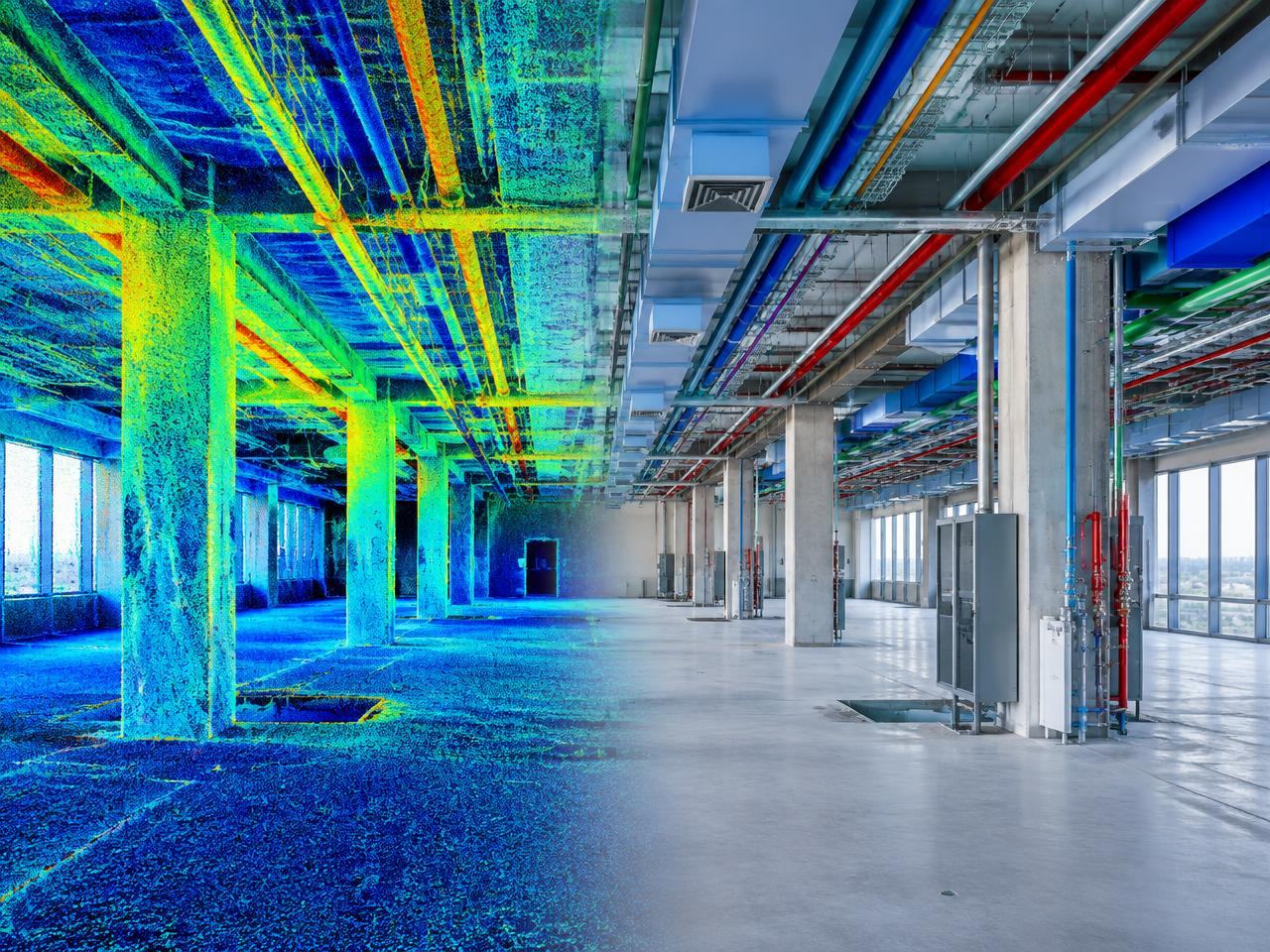
A practical programme covering the full workflow from point cloud to intelligent BIM model, including ISO 19650 compliance, LOD/LOIN requirements, and software training in Autodesk ReCap and Revit.
 Intermediate
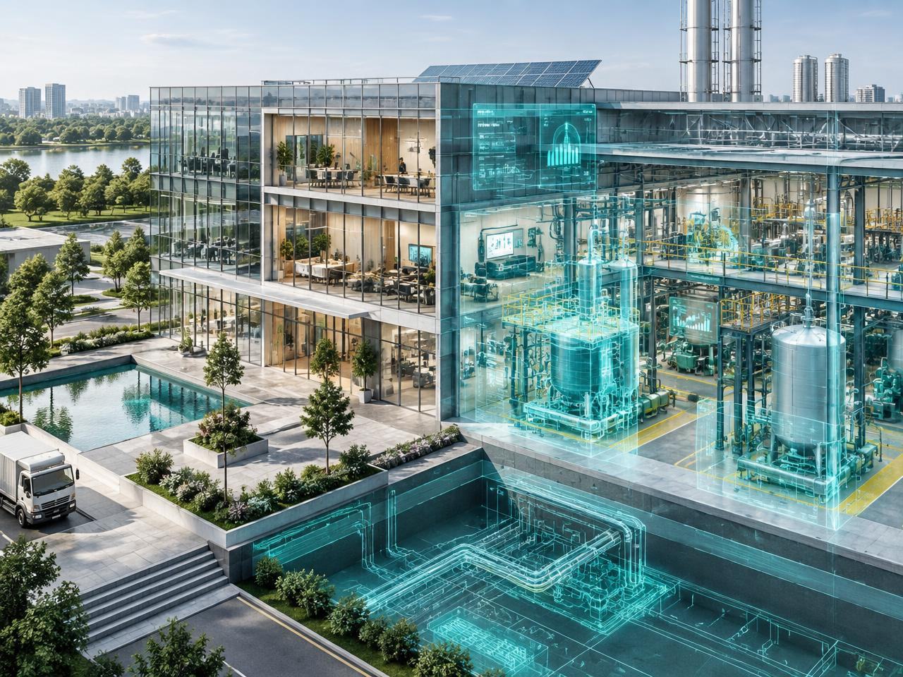
A comprehensive programme covering digital twin fundamentals, creation from reality capture data, IoT integration, and asset lifecycle management. Ideal for facilities managers, government agencies and NHS estates teams.
 Intermediate
A specialist programme covering coordinate systems, GIS integration, geospatial data management and practical applications in urban planning and infrastructure.
 Specialist
A specialist programme in non-invasive scanning techniques for listed and heritage buildings, including Historic Building Information Modelling (HBIM) and conservation workflows.
 Professional
A structured programme covering ISO 19650 Parts 1 and 2, Common Data Environment setup, BIM Execution Plan preparation, and practical compliance exercises.
 Intermediate
A practical programme covering CAA regulations, drone-based photogrammetry, point cloud generation from aerial data, and integration with terrestrial scans.
 Overview
An overview programme covering digital construction technologies, smart city applications, infrastructure monitoring, and future trends in AI and automated scanning.
Drag, swipe or use arrow keys
Configure your training
Share a few details about your team and objectives. We’ll review your selected programmes and recommend the most appropriate delivery format.