UK-WIDE REALITY CAPTURE · SURVEY-GRADE SPATIAL DATA

Turning Real-World Spacesinto Intelligent Digital Assets

Survey-grade 3D laser scanning, Scan-to-BIM and geospatial data for architects, engineers and estate teams across the UK.

  • 3D Laser Scanning
  • Scan-to-BIM
  • GIS & Digital Twins
  • Asset Information Management

About Vertex

Bridging Physical Infrastructure & Digital Asset Management

Vertex Reality Capture Ltd, also trading as VRC Spatial Technologies Ltd, is a UK geospatial and reality capture consultancy creating dependable spatial records for buildings, infrastructure, and operational estates.

≤2 mm
LiDAR Point Accuracy
LOD 200–400
Scan-to-BIM Delivery
OSGB36
National Grid Control
ISO 19650
Information Standard

Our foundation

Who We Are

We bridge physical infrastructure and digital asset management, turning complex real-world environments into accurate, coordinated information that project teams can trust.

Survey-grade LiDAR, structured Scan-to-BIM, OSGB36 geospatial data, and photorealistic digital twins help reduce site risk, avoid design clashes, and replace fragmented records with one reliable source of truth.

UK-wide
Survey coverage
One source
Coordinated truth
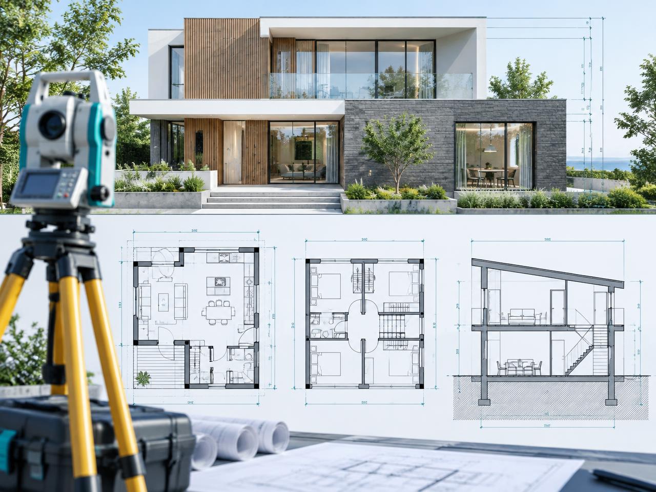
Survey team connecting a physical building and infrastructure estate with coordinated spatial data

What makes Vertex different

A reliable digital foundation, from survey to handover.

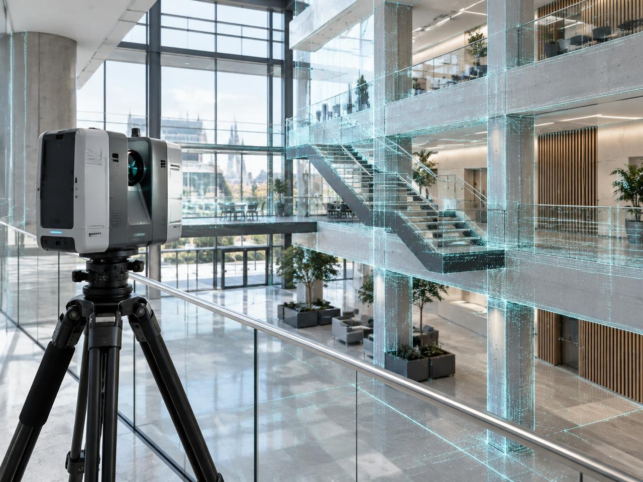
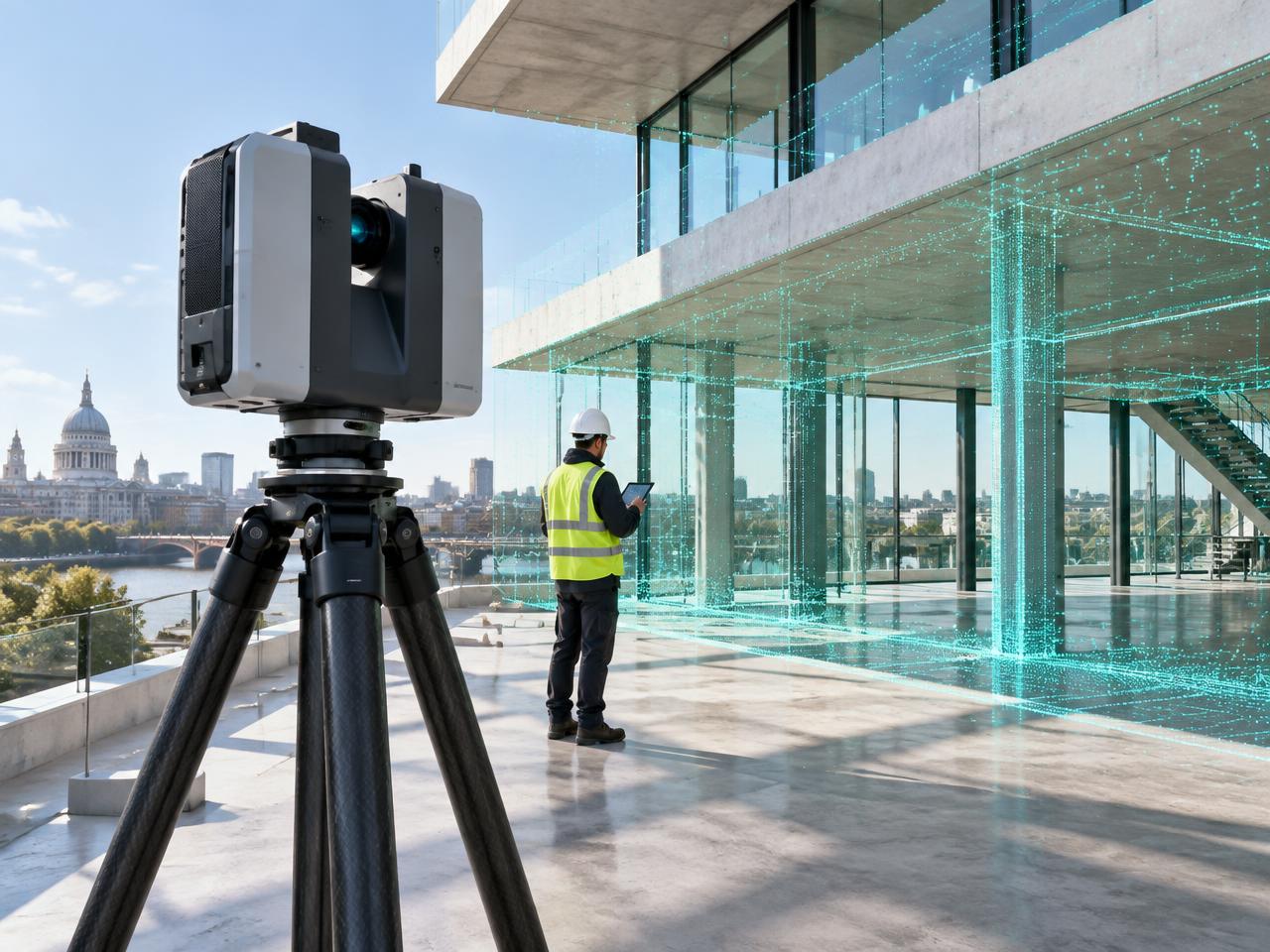
Terrestrial laser scanner recording a detailed building interior
01

Existing-condition control

Survey-Grade Precision

Millimetre-accurate terrestrial LiDAR creates a dependable record of existing conditions before design, manufacture, or intervention begins.

  • ≤2 mm point accuracy
  • Terrestrial LiDAR
  • Survey-controlled datasets
Coordinated architectural, structural and MEP building model
02

Structured BIM delivery

Intelligent BIM & Information Standards

Structured LOD 200–400 models align architectural, structural, and MEP information with ISO 19650 and COBie requirements.

  • LOD 200–400
  • Model-to-cloud QA
  • ISO 19650 information
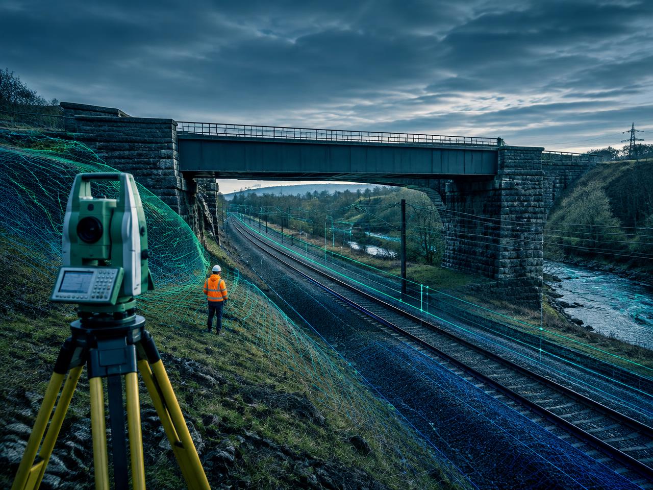
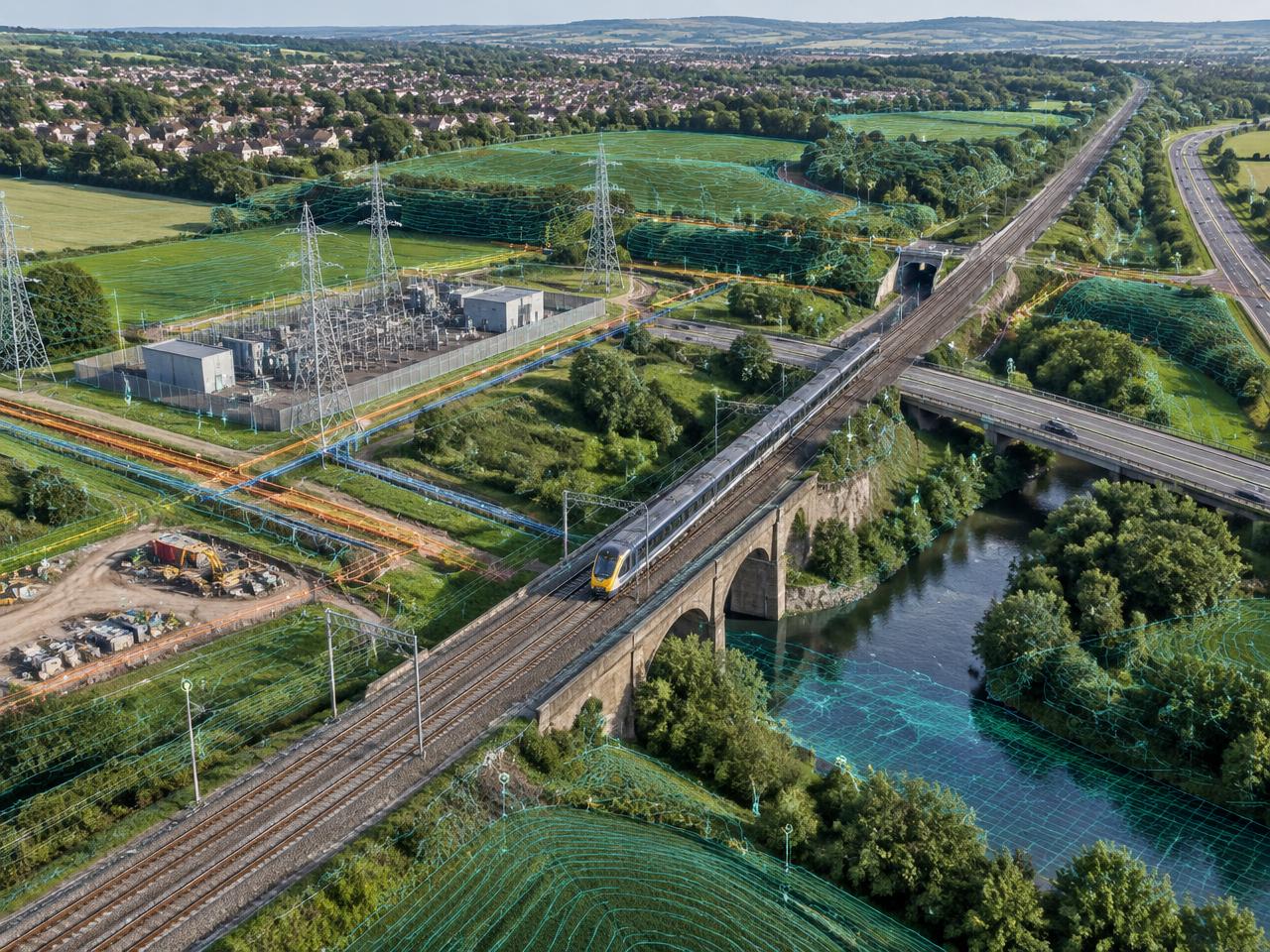
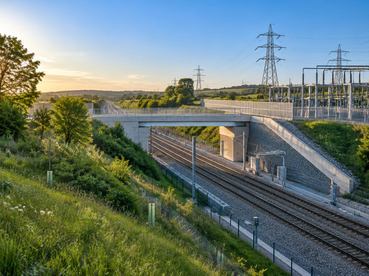
Survey-controlled rail and infrastructure corridor with geospatial data
03

Connected spatial control

Geospatial Infrastructure

OSGB36 and OSTN15 control connects buildings, estates, and infrastructure to a consistent national spatial reference.

  • OSGB36 / OSTN15
  • National Grid control
  • BIM-to-GIS alignment
Facilities engineer reviewing a digital twin in an operational plantroom
04

Usable asset information

Rapid Digital Handover

Coordinated point clouds, CAD, BIM, GIS, and digital-twin outputs give project teams usable information without fragmented handovers.

  • CAD, BIM & GIS outputs
  • COBie-ready information
  • Operational handover

The next step

Have a physical asset that needs a reliable digital foundation?

Define the initial scope online or explore the survey, BIM, GIS, and asset-information services available for your project.

Deliverables

Survey outputs you can inspect and use

Explore examples of the spatial data and coordinated models issued to project teams.

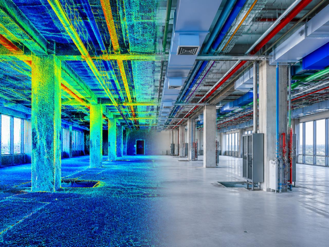
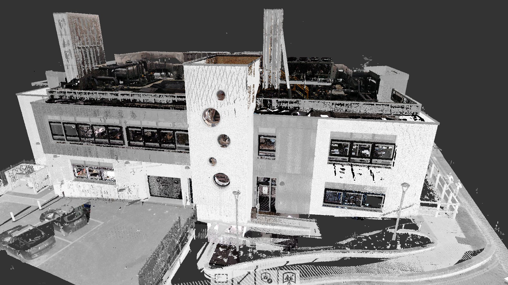
Registered terrestrial laser scan point cloud of an existing building

Raw reality capture

Registered Point Cloud

A measurable, registered spatial record used as the authoritative existing-condition baseline for design and inspection.

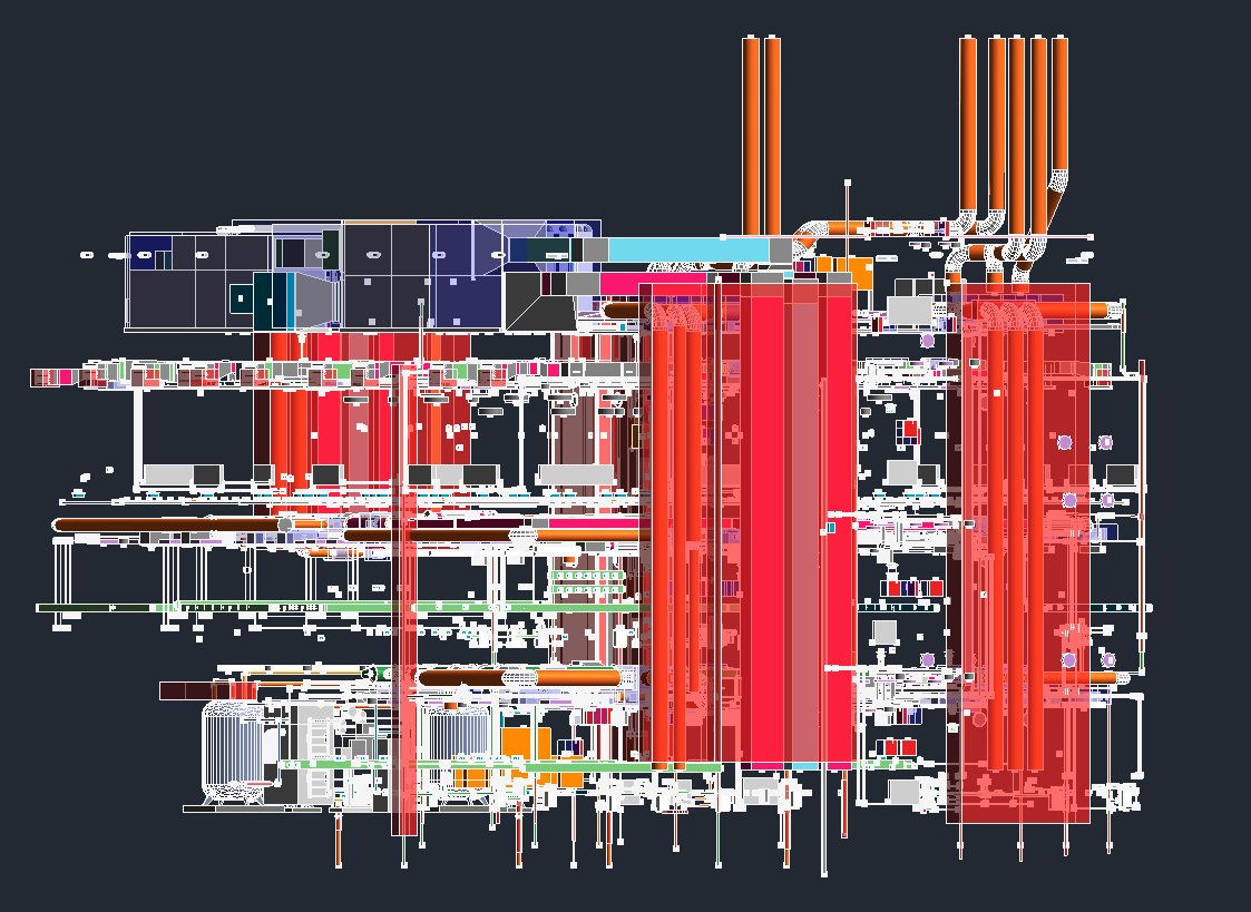
Coordinated MEP model produced from laser scan survey data

Parametric Revit BIM

Coordinated MEP Model

Survey-derived plant and distribution systems modelled for spatial coordination, maintenance planning, and structured handover.

Interactive Planning Tool

Project Scope Estimator

Configure your asset profile to generate an indicative survey scope and delivery programme.

1. Asset Classification
2. Approximate Gross Internal Area

Enter the total area you want surveyed.

16,146 sq ft

Include all floors within the required survey scope.

Indicative Survey Output

Estimated Scanner Setups
52 - 72 Station Positions
On-Site Capture Duration
2 - 3 Survey Days
Deliverable Turnaround
7 - 9 Working Days
Generated Project Scope

COMMERCIAL survey of 1,500 m² targeting 3D BIM Model LOD 300 (Revit .RVT). Estimated on-site: 2 day(s).

Indicative planning estimate only. Final survey duration and delivery programme are confirmed after review of site conditions and project requirements.

Start a Project

Contact & Enquiries

Share the site location, services, required outputs, and programme. Our survey team will review the brief and contact you to confirm scope, access, and delivery.

Registered Office
71-75 Shelton Street, Covent Garden
London, WC2H 9JQ
United Kingdom
Required Services *

Your details are used solely to respond to this enquiry and stored securely in line with UK GDPR. See our Privacy Policy.