All services
Vertex service
GIS & Geospatial Solutions
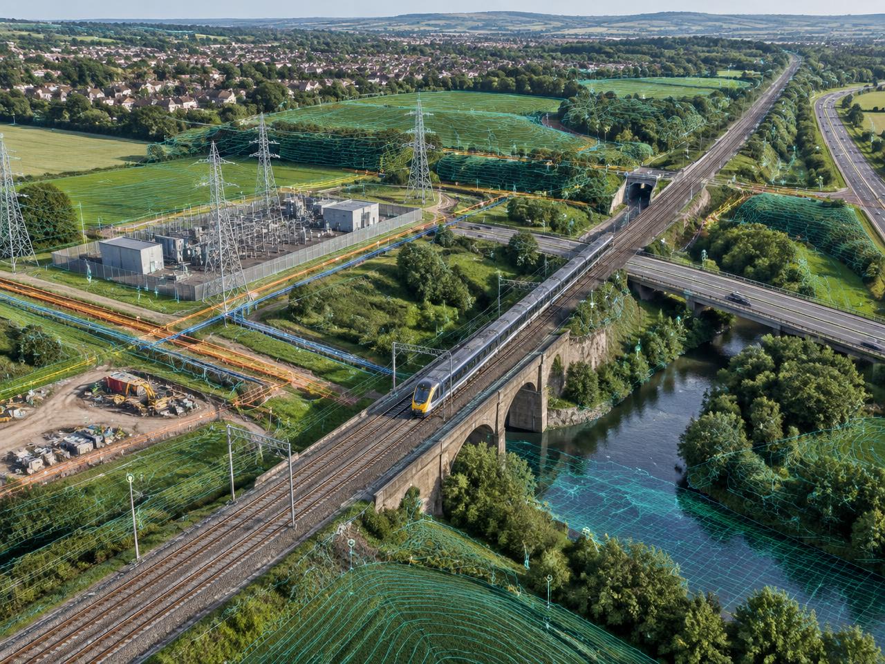
Vertex creates reliable geospatial information that connects survey observations, asset records, imagery, and BIM data within a common geographic framework. Outputs are structured for practical use across desktop GIS, web maps, digital twins, and estate systems.
Discuss this serviceKey capabilities
OSGB36 National Grid Control
RTK UAV Topographic Mapping
Spatial Asset Databases
BIM to GIS Integration
Typical use cases
- Infrastructure corridor mapping
- Estate and campus asset registers
- Planning and environmental basemaps
- Operations and maintenance mapping
Deliverables
- Georeferenced survey base
- Orthomosaic and elevation model
- Structured spatial asset database
- Web-ready 2D and 3D map layers